I experienced one more adventure after my struggle to the top of Mt. Elbert, 14,450 ft ASL. On my drive back to Oklahoma from Colorado, I thought that I would stop by The Black Mesa and climb to the top of Oklahoma, which is 4973 ft. ASL. In my imaginary bag of High Points I already have a total of four states. I thought to myself why not make it five. There was Humphreys Peak, 12,633 ft. ASL, Highest Point in Arizona, done that. There was Wheeler Peak, 13,161 ft. ASL, the highest point in New Mexico, done that. There was Guadalupe Peak, 8751 ft. ASL, the highest point in Texas, done that too. And, of course Mt. Elbert which I had just hiked, the highest point in Colorado.
While hiking Mt. Elbert, I met a young man who claimed that he had just climbed Mt. McKinley, 20,320 ft. ASL. That is the highest point in Alaska and North America. (It’s possible that he did and was telling me the truth, but it is so easy to say you did when you didn’t, if you know what I mean.) If I were to do all the high points in the fifty states I would have to do that one too, which is also known as Denali. Real danger is in involved in hiking that mountain. From 1903 through the end of the 2006 climbing season, ninety-six individuals died on Denali. The fatality rate is slowly declining and is around 3.08/1,000 summit attempts. Forty five percent of these fatalities were due to injuries sustained by falls. I’ll make that hike the last one on my list to attempt. By then I’ll have age as an excuse for failure, I should be in my seventies or eighties by then, if I am blessed enough to live that long.
In the glove box of my pickup I had several old road maps. I had Colorado, Oklahoma and Texas, but not New Mexico so upon my arrival in Clayton, NM I plugged the name Kenton, OK into my GPS. I followed the directions and it led me straight to Kenton. Kenton seemed totally empty, there was nothing open, no service station, no McDonalds, no place to spend a dime, with the exception of the Post Office. Luckily for me, I was there before it closed or I could have missed out completely. I limped into the Post Office which was nothing more than a doublewide portable building. It was extremely quiet, not even the sound of an electric fan could be heard. Suddenly a nice lady appeared from the back part of the structure. I asked her if she knew where the trailhead for the highest point in Oklahoma was and she told me in detail where to go. I then asked about the population of Kenton. She said that it was around seventeen but there were more than fifty if you counted all the ranchers in the area. I asked if she knew the length of the hike to the top of Oklahoma. She replied, “four miles.” I asked one way or round trip. She wasn’t sure but said that she hoped it was round trip for my sake. Although my feet were blistered and sore I thought to my self, what the heck, it can’t be that bad. I can handle it. The vertical assent was only a little over 600 ft. That would be a piece of cake, compared to the hill I had just climbed. Four miles wasn’t going to be that bad. I headed for the trailhead.
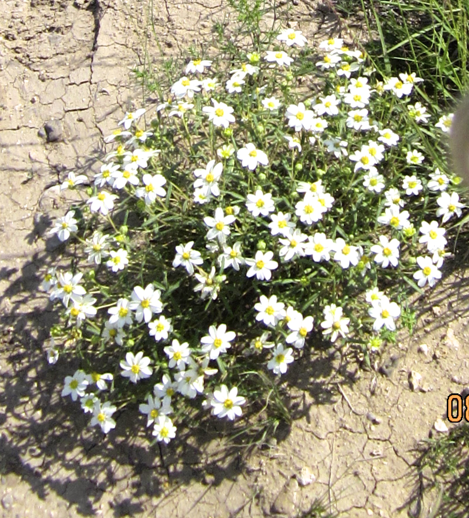
Not only is the state of Oklahoma filled with wonderfully hard working folk, it is a place of variety. I have sprayed crops in Oklahoma, and I knew of the agriculture in the panhandle and the high plains. I had worked in the oil and gas industry. I am familiar with the cattle ranches out west, the Black Diamond Water Melons grown in the center of the state, the hills in the eastern and northeastern part of the state. I love the tall woods with huge deep blue lakes found in the eastern, and central parts. But, I hadn’t been to this part of the state. It was different. It was high desert with many mesas and a beauty that only the high desert provides. Lucky for me there had been a lot of rain recently and the wild flowers were everywhere. Their vibrant colors lit up the landscape. The beauty was breath taking which made my spirit soar. God is so good to me to allow me to see so much of His creation and its beauty, and to see it in a time of peace.
A little preparation was needed before I started down the trail. I was out of water, with the exception of a half bottle that was left over, that I had purchased back in Pueblo, Colorado. I still had some ice and melted water in my cooler, and I used it to fill my camelback bladder. I put on fresh socks and a lighter pair of hiking boots and made sure I had a few snacks to munch on along the way. I wasn’t sure if it was going to be a four-mile hike or an eight-mile hike. There was one SUV in the parking area, so I assumed that I would see someone on the trail.
Before I had hiked a mile, I met a young woman who was headed in the opposite direction. I asked her if the mesa to our south was the one that was the high point. She said no it was quite a distant west of where we were standing. She also told me that her brother was behind her, but she had decided to quit before reaching the summit because it was too hot. The temp was around 90 deg f. I still didn’t know for sure whether or not this would be a four-mile or an eight-mile hike. I continued on. I saw a bench that was imprinted “Mile One,” and a mile farther on another bench that was imprinted “Mile Two.” I started to realize that it would probably be more than four miles. The trail started to rise to a mesa that was south of where I had been hiking. As I was climbing, I met a young man with a OSU baseball cap on his head. He told me that once on top of the mesa that the trail continued for a little less than a mile and the elevation gain wasn’t more than fifteen feet from there. I climbed farther and another bench that was imprinted “Mile Three.” Once on top of the Mesa, it was about eight tenths of a mile to the monument. The flowers were awesome. The hike was easy but long. I recommend it. It’s a wonderful hike. Probably best done in the early morning.
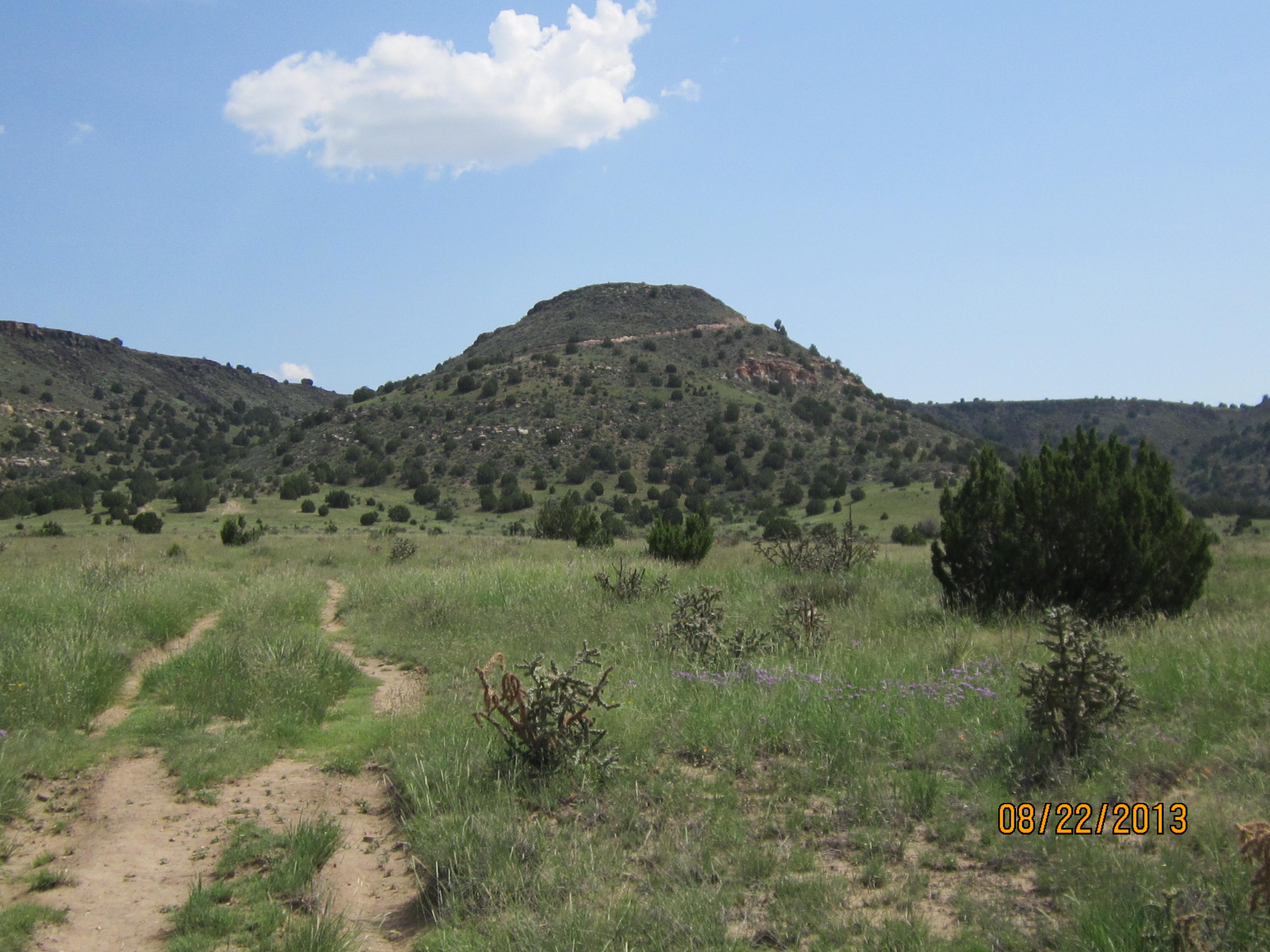
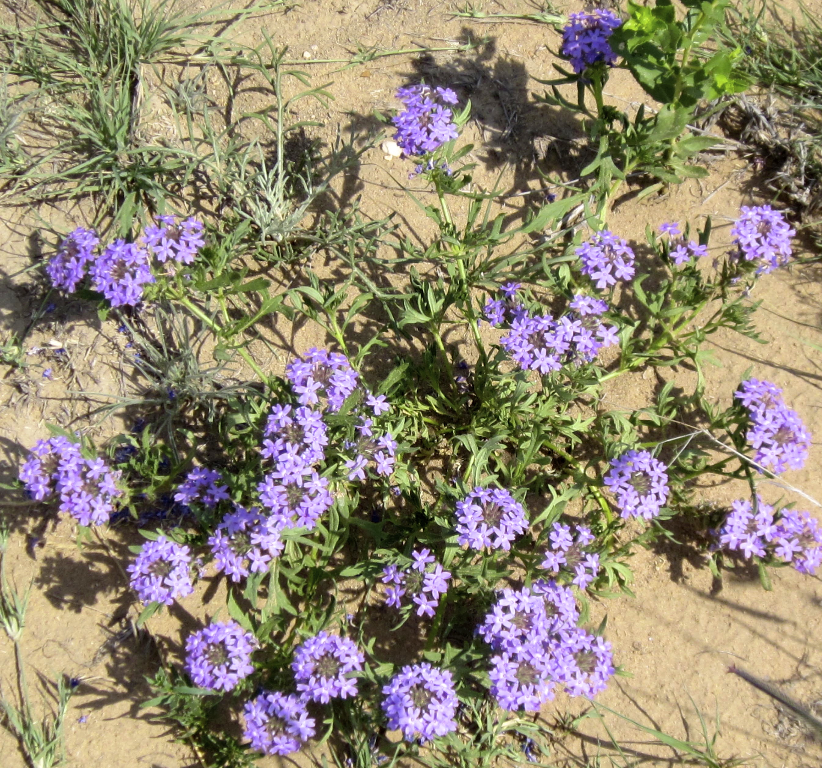
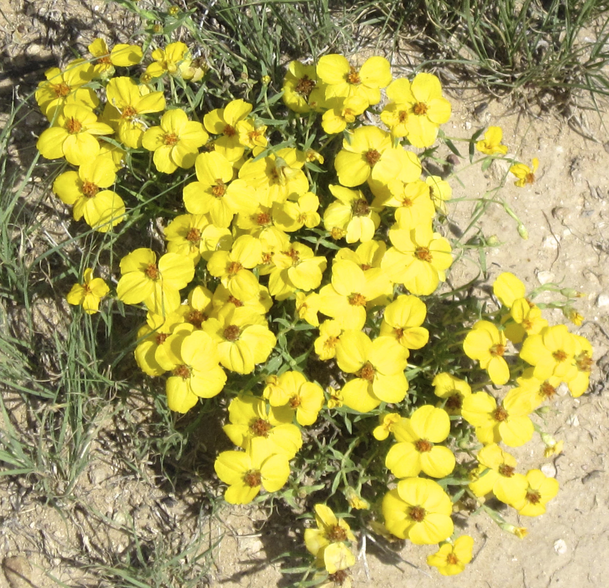
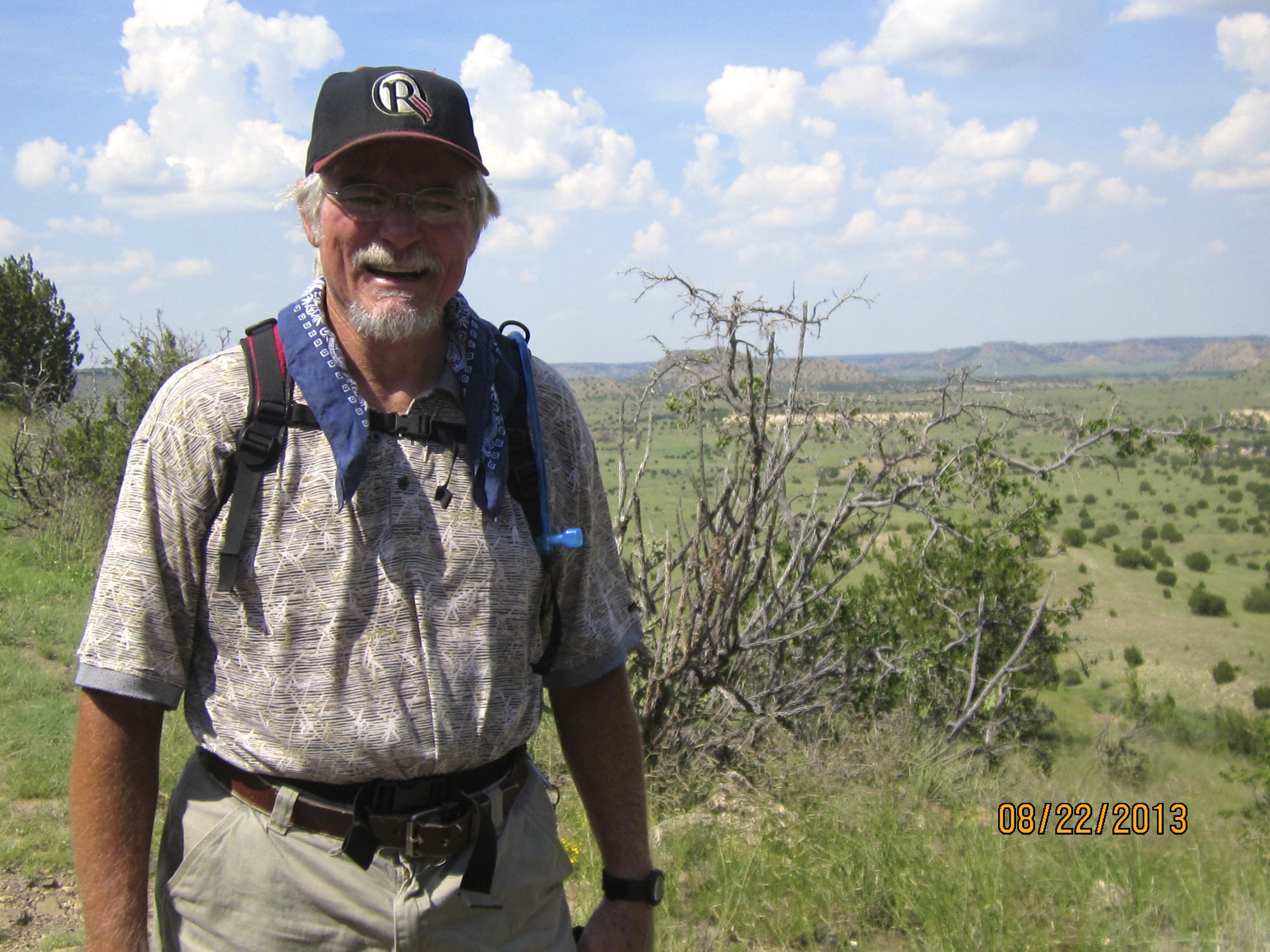
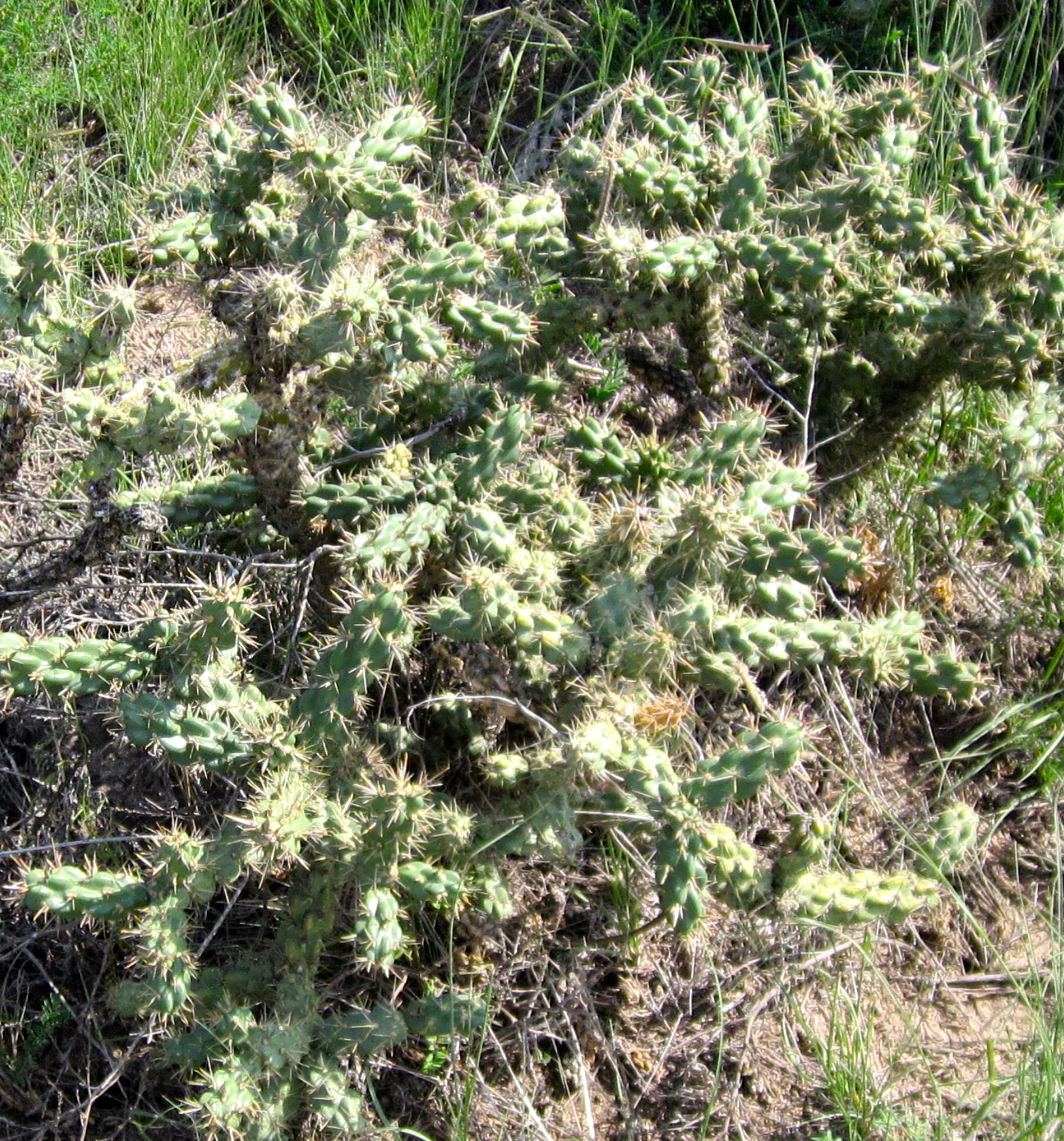
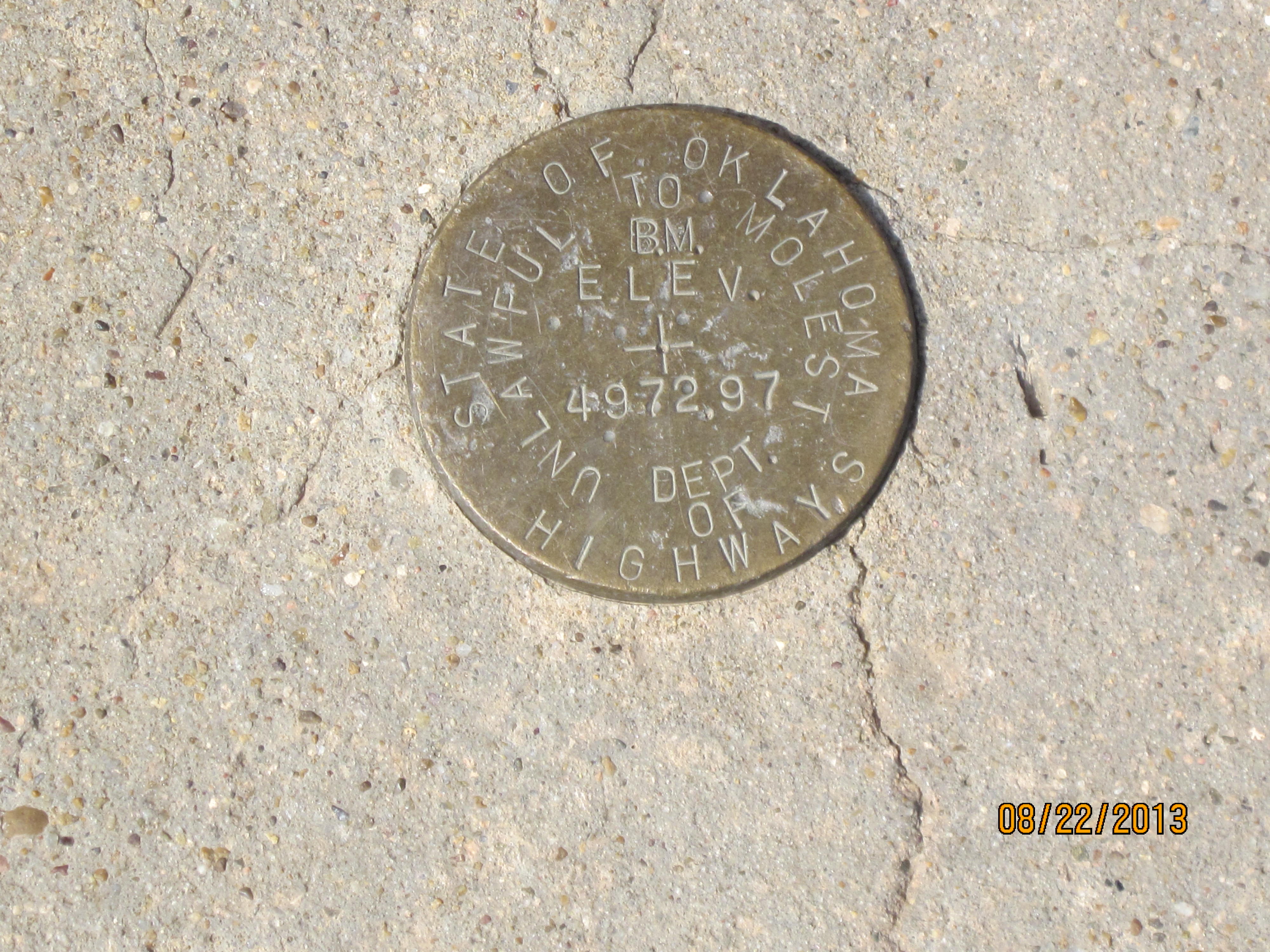
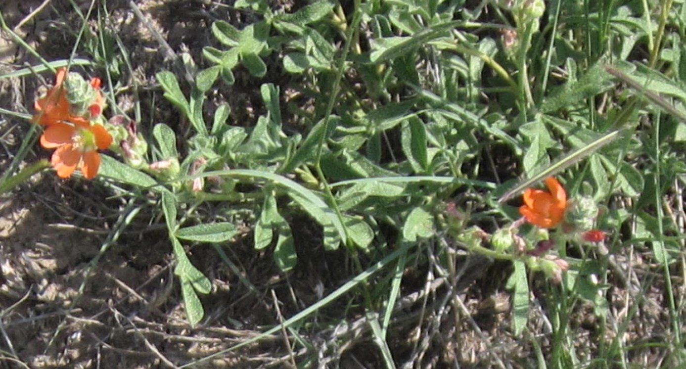
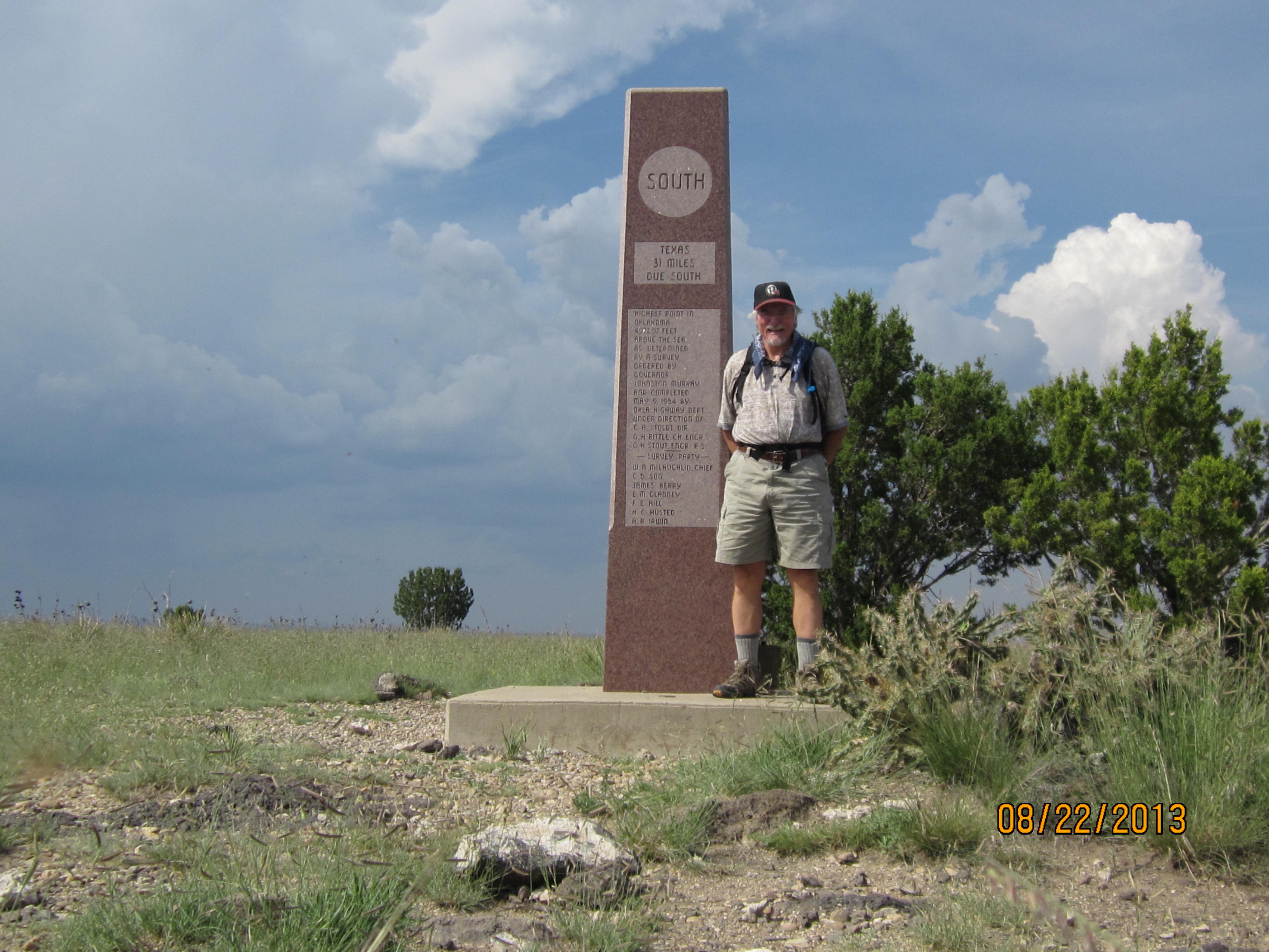
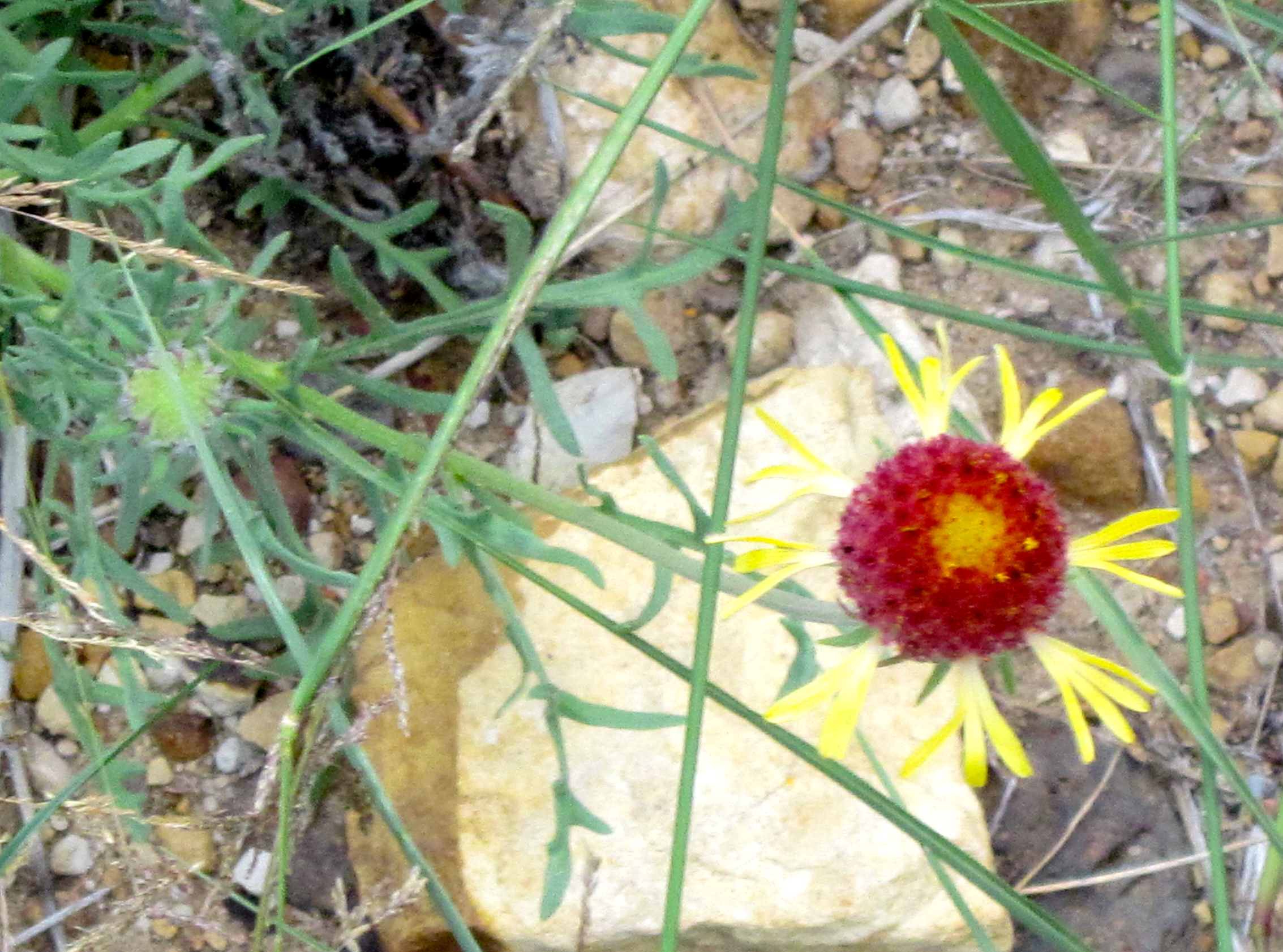
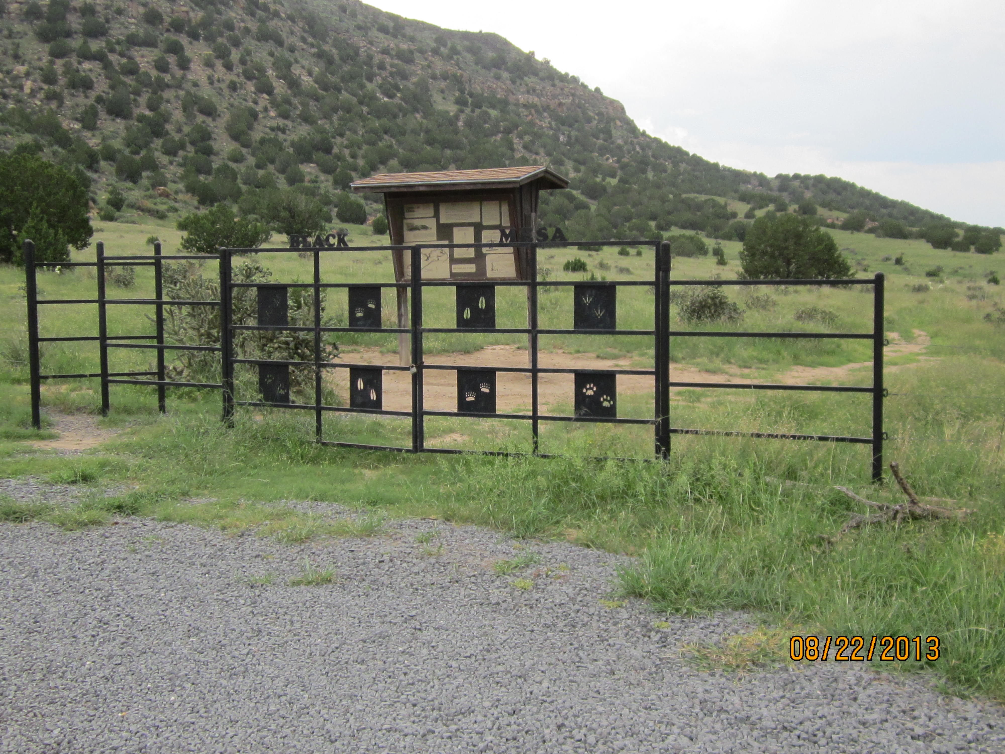
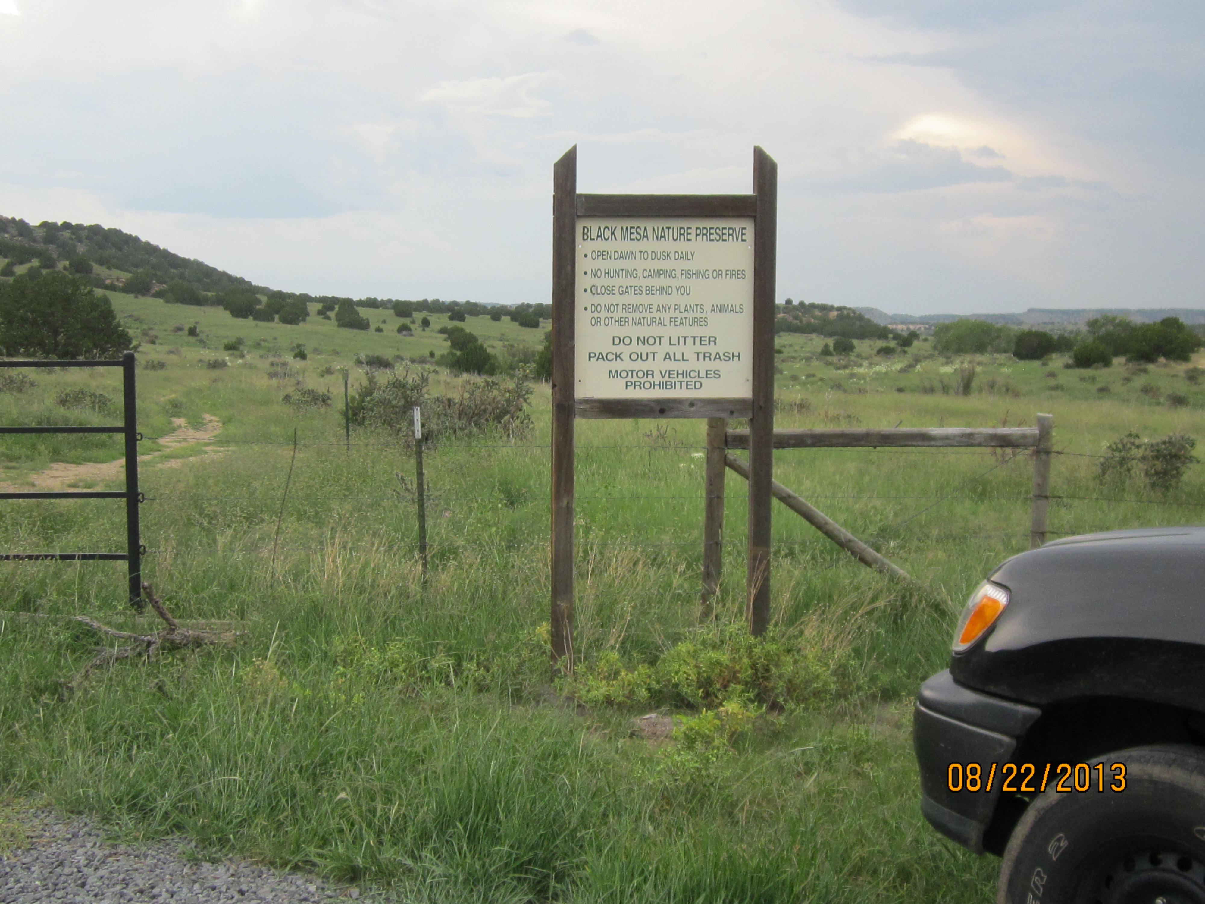
Below are some snapshots I took on this hike. Enjoy! The photos don’t do justice to the beauty there.
I love reading about your adventures..thanks for sharing
You are so welcome Mary, we missed you in SS sunday & we all love you. Keep Your Speed Up!
I simply want to tell you that I am just very new to weblog and truly loved you’re website. Very likely I’m going to bookmark your blog . You absolutely come with terrific article content. Bless you for sharing your website.
I had been wanting to know if you ever considered adjusting the page layout of your website? It is well written; I really like what youve got to say. But maybe you can add a a bit more in the way of written content so people could connect with it better. Youve got a great deal of wording for only having one or two photos. Maybe you could space it out better?
*I recently noticed your website back i are generally looking through which on a daily basis. You’ve got a loads of information at this site so i actually like your look to the web a tad too. Maintain the best show results!
Re: Whoever produced the comment that this was a good web site really needs to possess their brain analyzed.
Banain, Thanks for you comment. I will take it into consideration. Is there anything else?
I Will have to come back again when my course load lets up – however I am getting your Feed so i can go through your web blog offline. Cheers.
Dear readers that is official instrument
for Clash of Clans, this is created from one hacker from France.